UK
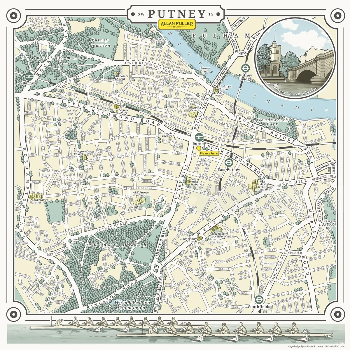
Illustrated map of Putney, London SE15
Medium: Digital, Illustrator, Photoshop
Client: Allan Fuller Estates
illustrated map, Putney, London, river, rowing, rowers, boat race, roundel, church, bridge, yellow, estate agents, area map
Keywords
Computer Generated Graphic Lettering Line and Colour Maps/Graphs Stylistic Topography Urban About Mike
If you’re working on a project involving illustrated maps, then Valencia-based artist Mike Hall needs to go at the top of your list of artists to consider. From vintage to modern styles, he’s an expert not only at conveying vital geographical information but also at perfectly crafting each map for his client and their audience.
Want to discuss a commission?
Mike's latest news
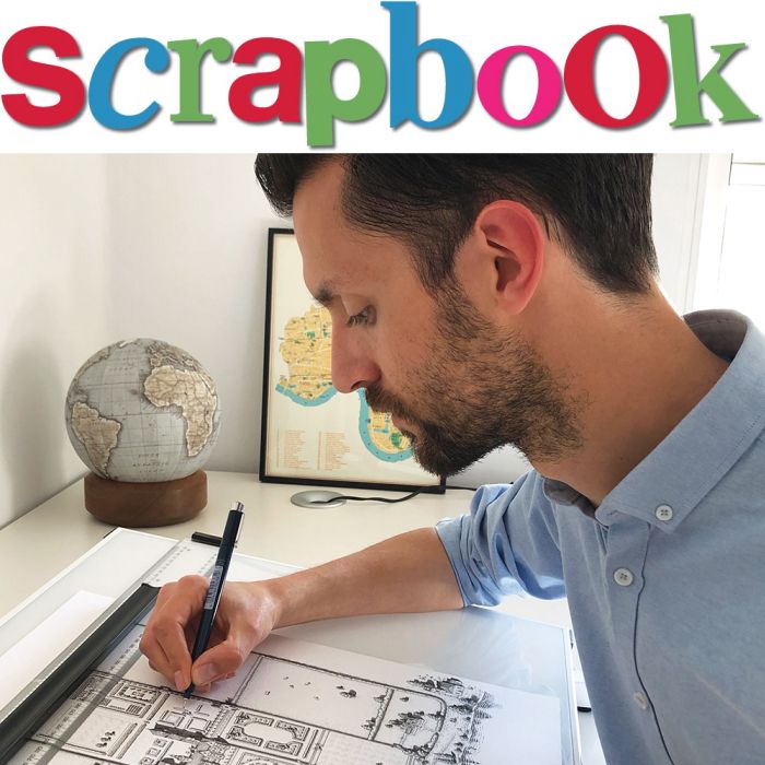
Mike Hall's SCRAPBOOK
We head to Spain to chat with Mike Hall for our next Interview with an Illustrator.
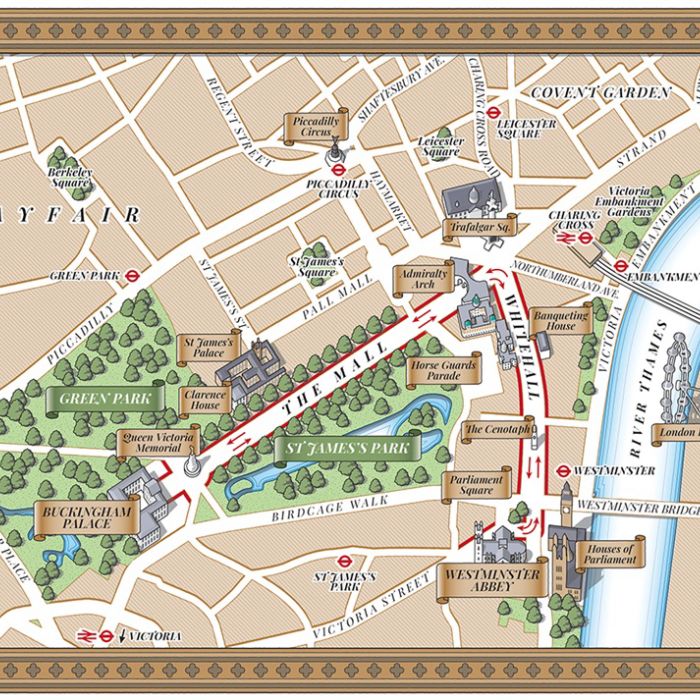
The Coronation Procession
Working with Future Publishing for TV Times Magazine, Mike Hall creates a map design of the King's Coronation Procession.
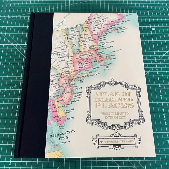
The Atlas of Imagined Places
Mike Hall produces wondrous maps and illustrations for The Atlas of Imagined Places.
Browse by style / Categories / Media
3D / CGI RenderingAdvertisingAnimalsAnimationAnimeArchitectureBeautyBlack & WhiteBook CoversCartoon & HumorCharacter DesignChildrenCollage & MontageColoring BookComicConceptualCuteDecorativeEditorialEducationalFantasyFashionFashion LuxeFood & DrinkGamingGIFsGraphicHistoricalIconIG Influencers 10K +InfographicJewelryLetteringLifestyleLineLive Event DrawingLooseMapsMedicalNatureNew TalentPackagingPaintingPaper ArtPastichePeoplePhotorealisticPlaces & LocationsPopPortraitsRetouchingRetroSeek & FindSport & FitnessStoryboardStreet Art & MuralTechnicalVectorWatercolorWood Engraving & EtchingYoung Adult
animation styles / Categories / Media
Do you commission animation as well?
If so, we represent many outstandingly talented animators, creating gifs, explainers, characters, stop motion and motion graphics for TV, film, games and digital streaming in 2d and 3d.
Briefly describe what you are looking for, and Genie will try and suggest some ideas.
ask an agent
Search
Search picks out matching ideas and keywords from our artists, styles galleries and news archive, and invites the AI Search Genie to offer artist suggestions for your project.
Howdy


