County Durham Attractions
Medium: Graphite with digital colour washes
Client: Durham Pointers
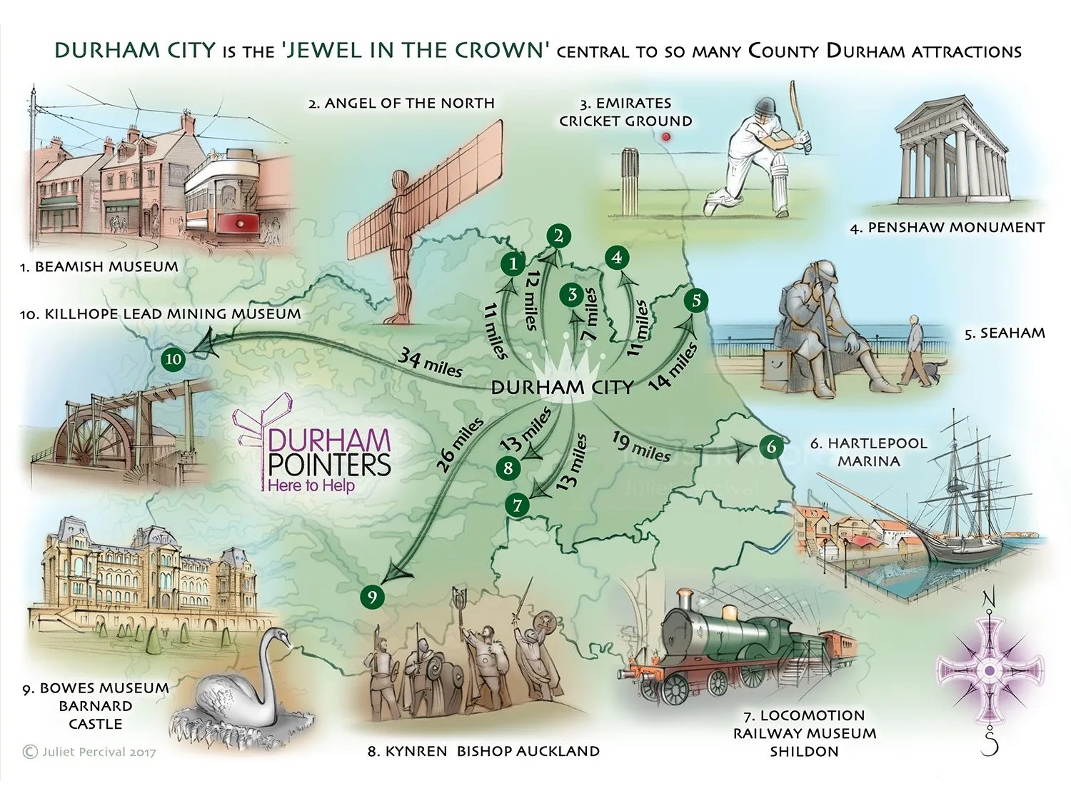
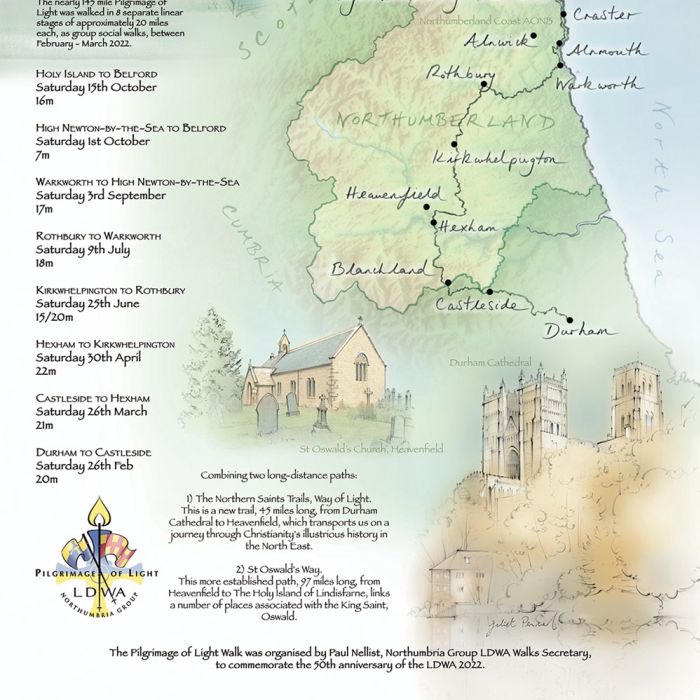
Illustrated map of County Durham showing travel distance to nearby attractions, to be handed out by Durham Pointers, March 2017.
Keywords
Decorative Line Line and Colour Line and Wash Loose Maps/Graphs Mixed Medium Montage Pencil Realistic Sport About Juliet
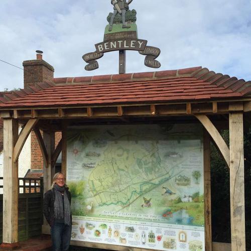
Working from her studio in Durham, Juliet is in demand for her skills creating unique maps, travel illustrations, architecture and lifestyle pieces. With a prodigious creative talent honed at Falmouth College of Arts (where she achieved a First Class degree in Illustration), she brings an individual, warm personal aesthetic and creative touch to every client’s project. Her portfolio includes editorial and book publishing as well as maps for signage and outdoor interpretation panels.
Want to discuss a commission?
Juliet's latest news
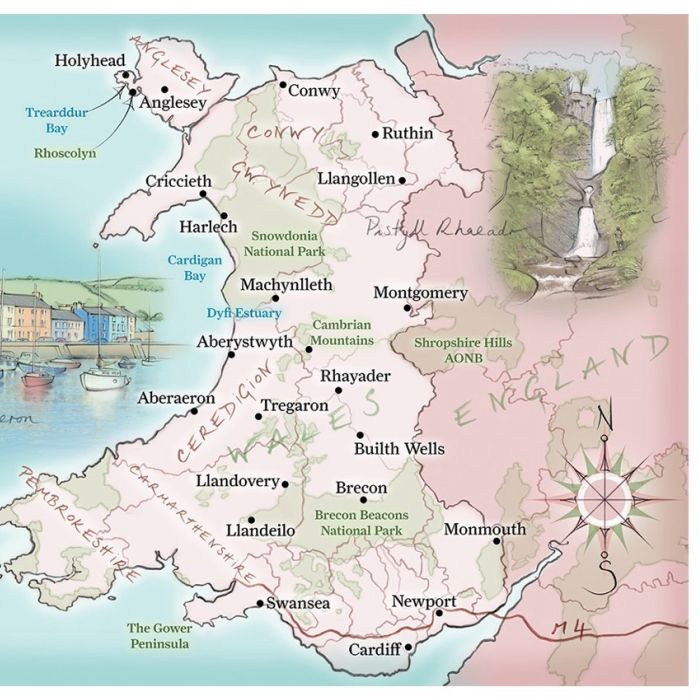
Escape to the Country
Juliet Percival creates illustrated maps for a book to accompany the UK TV series 'Escape to the Country'.
Browse by style / Categories / Media
3D / CGI RenderingAdvertisingAnimalsAnimationAnimeArchitectureBeautyBlack & WhiteBook CoversCartoon & HumorCharacter DesignChildrenCollage & MontageColoring BookComicConceptualCuteDecorativeEditorialEducationalFantasyFashionFashion LuxeFood & DrinkGamingGIFsGraphicHistoricalIconIG Influencers 10K +InfographicJewelryLetteringLifestyleLineLive Event DrawingLooseMapsMedicalNatureNew TalentPackagingPaintingPaper ArtPastichePeoplePhotorealisticPlaces & LocationsPopPortraitsRetroSeek & FindSport & FitnessStoryboardStreet Art & MuralTechnicalVectorWatercolorWood Engraving & EtchingYoung Adult
animation styles / Categories / Media
Do you commission animation as well?
If so, we represent many outstandingly talented animators, creating gifs, explainers, characters, stop motion and motion graphics for TV, film, games and digital streaming in 2d and 3d.
Briefly describe what you are looking for, and Genie will try and suggest some ideas.
ask an agent
Search
Search picks out matching ideas and keywords from our artists, styles galleries and news archive, and invites the AI Search Genie to offer artist suggestions for your project.
Howdy


